Certified Drone Media
Accident Location Evidence
Footage and Photography
Certified Drone Media - Accident Location Evidence drone footage and photography bring effective and powerful real-time data to any case. Certified Drone Media maps and verifies FAA flight clearance to safely your gather case data. Sample footage below…

Music by: Ryan Farish - Breakthrough
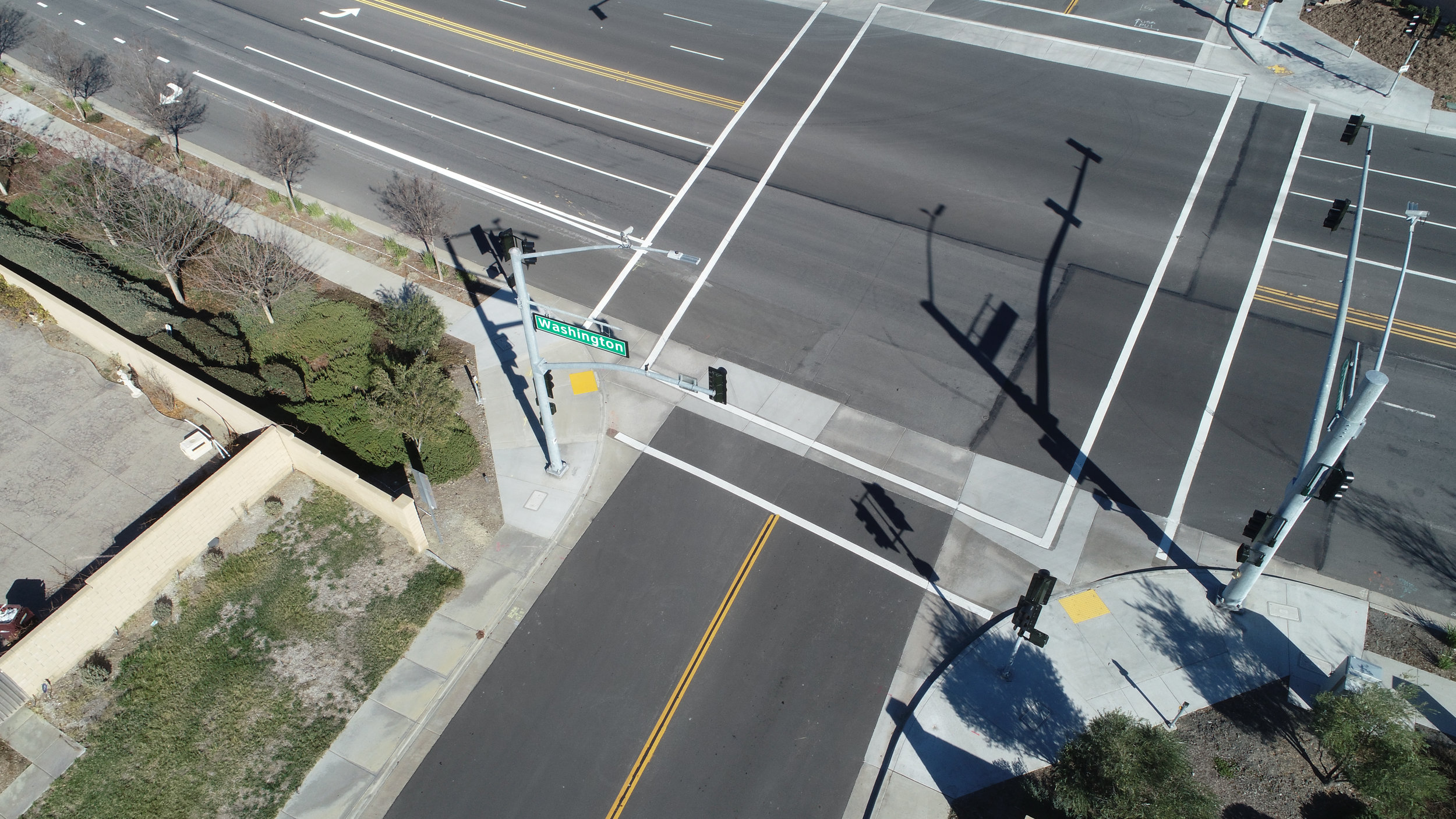
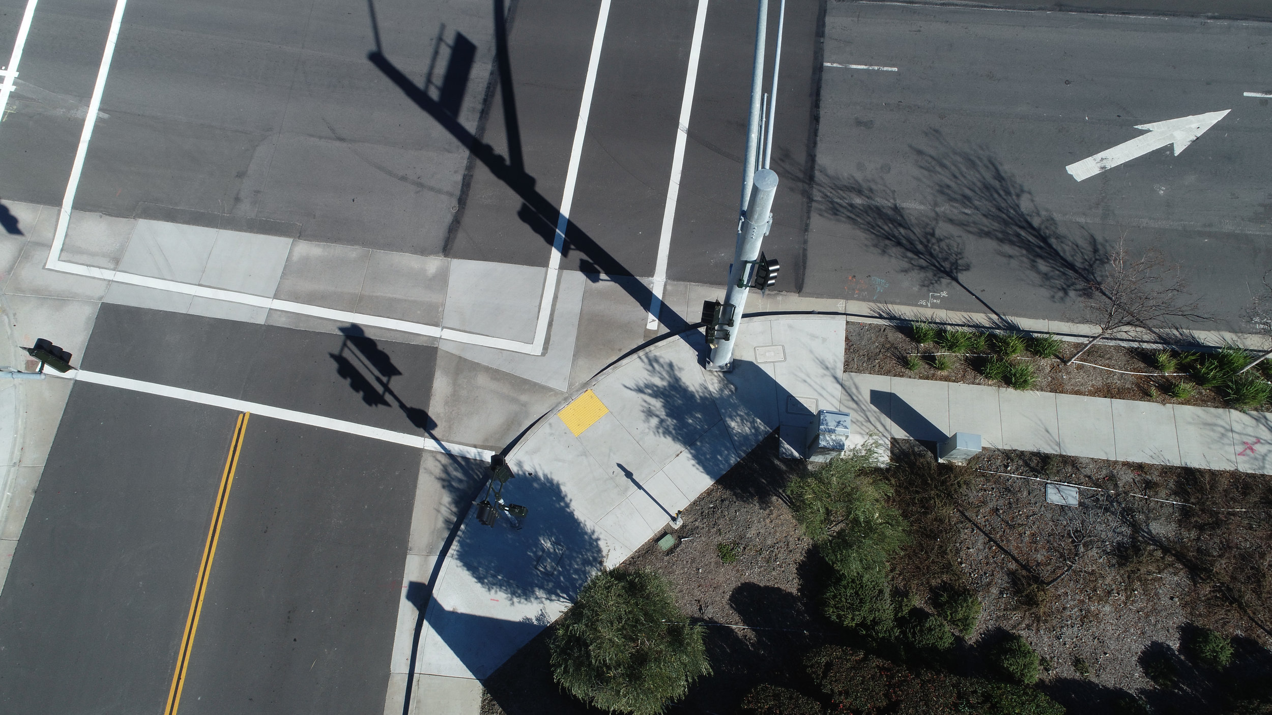
Certified Drone Media aerial images offer compelling perspective and detail.
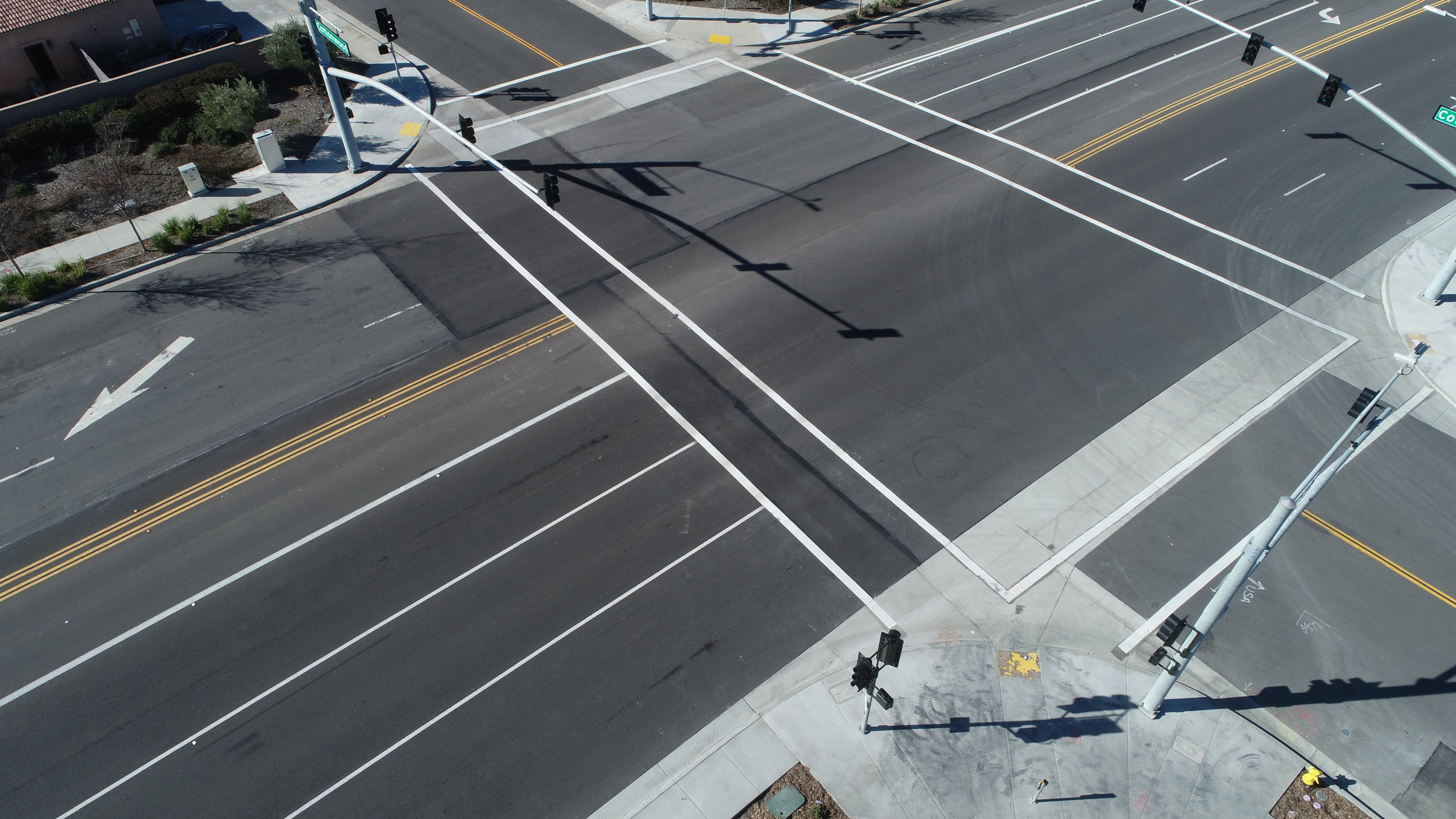
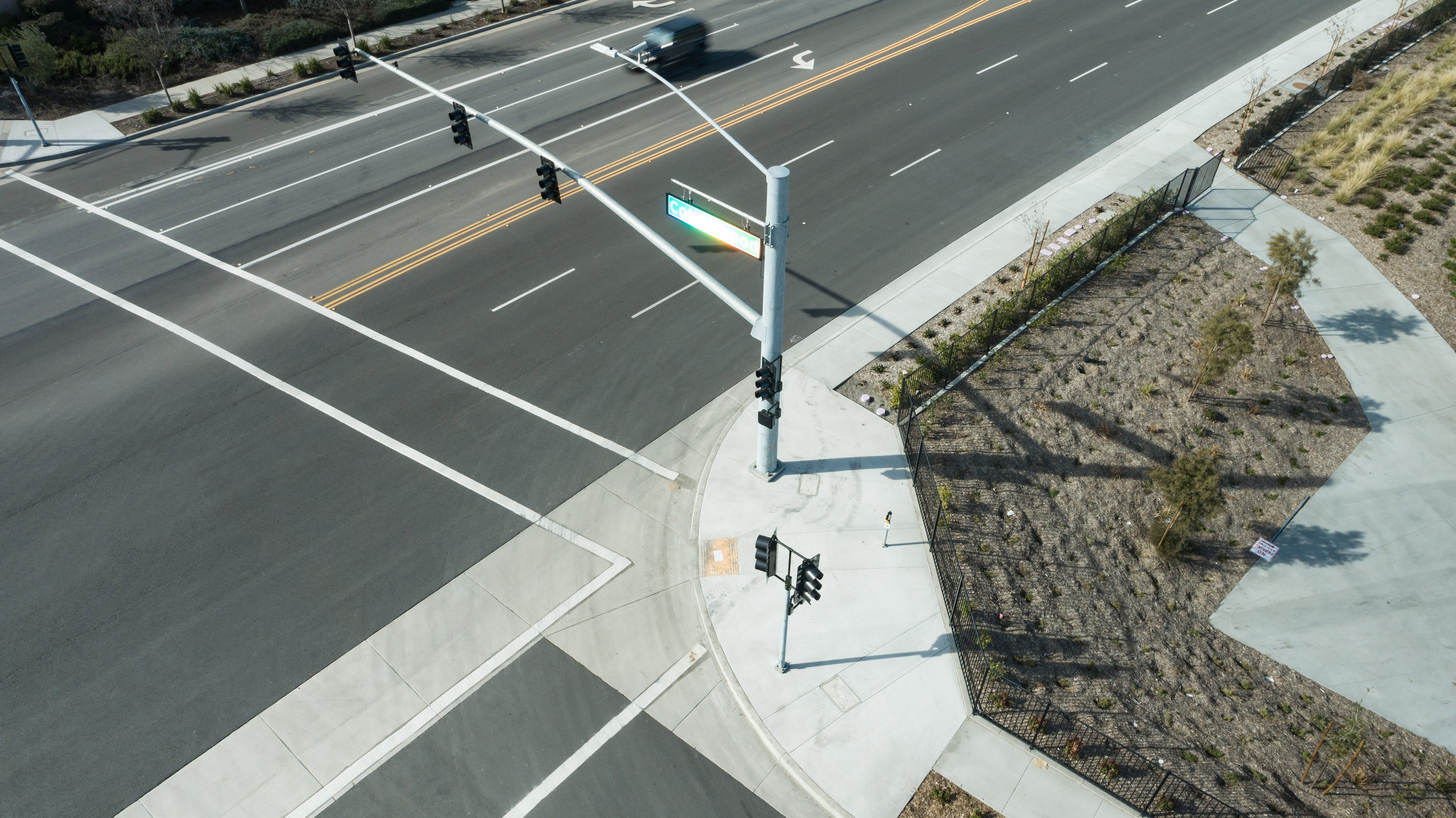
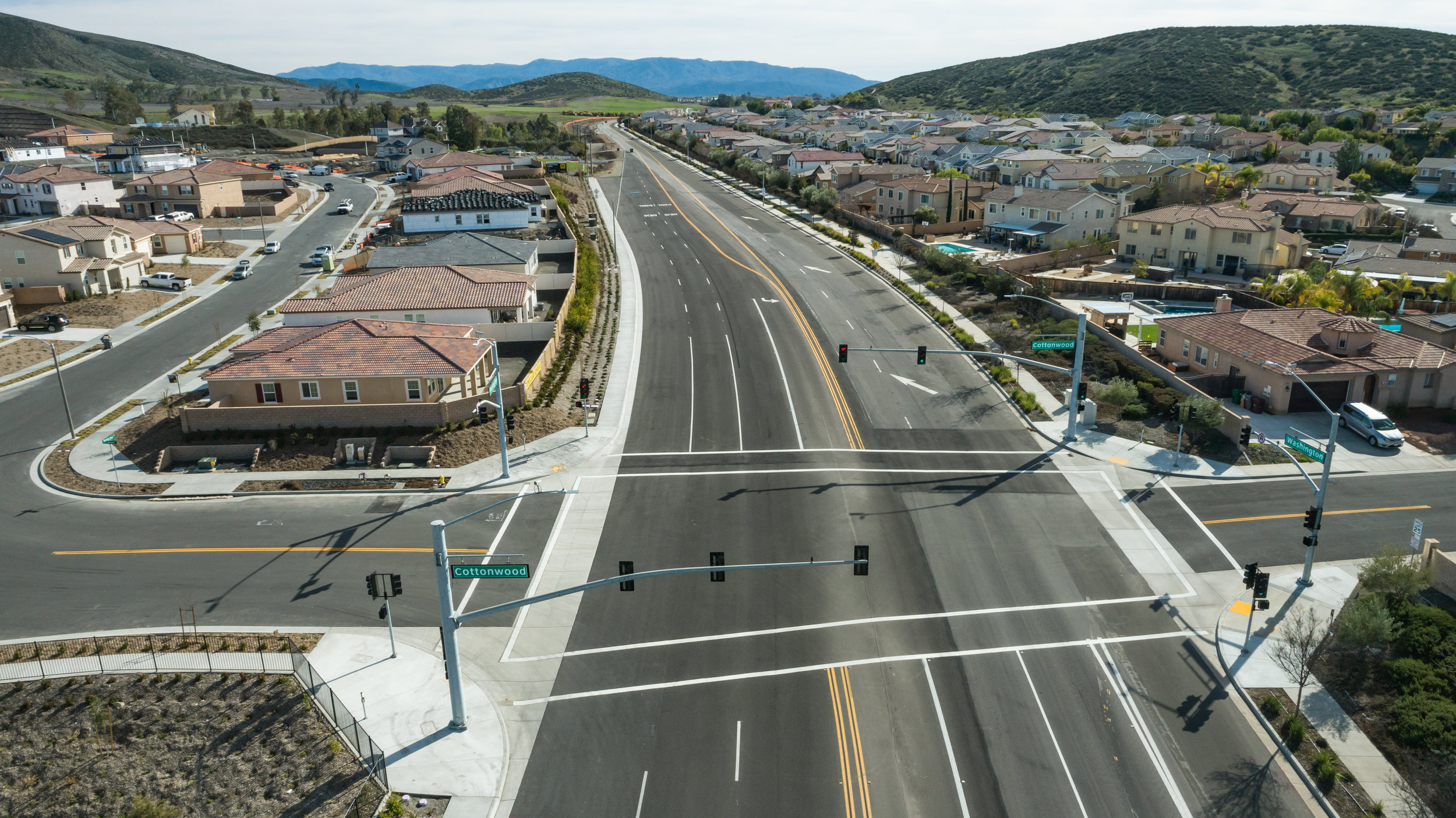
Below - Multiple 16 mega pixel images mapped, captured and meticulously tiled together to render highly detailed large format image.
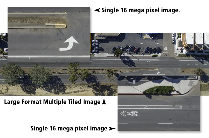

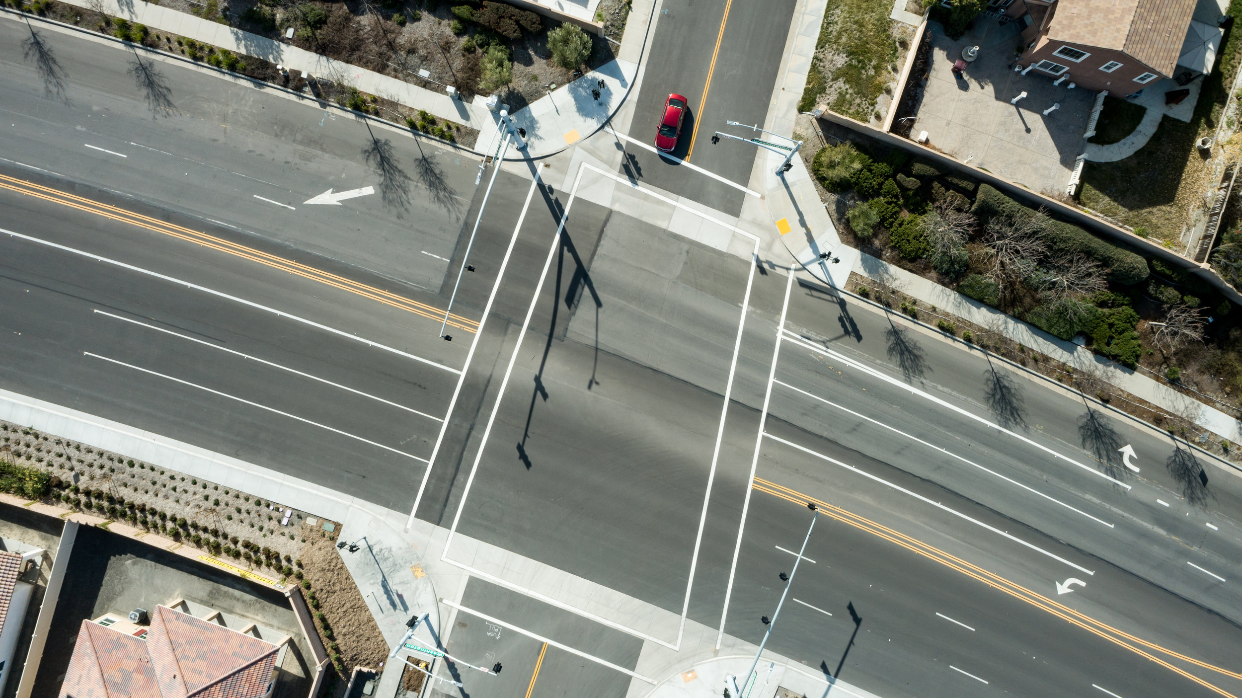
Above is another sample of a high definition tiled image. This image is composed of 26 sixteen mega pixel images resulting in a 133 mega pixel final version. Certified Drone Media utilizes GPS coordinates and the latest drone technology to map, photograph and tile large and small areas of interest.
Contact us today to discuss your Accident Location Evidence Certified Drone Media needs.